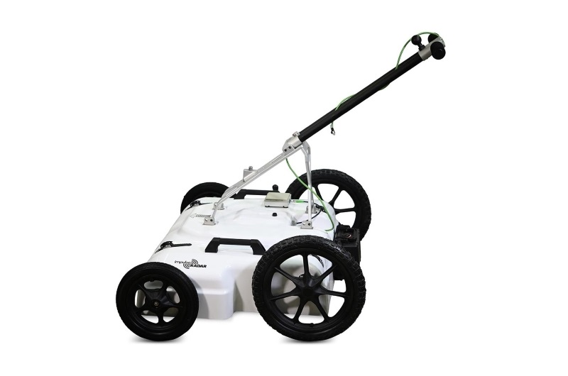
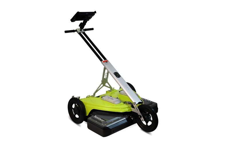
ImpulseRadar PLT 600 – 600 MHz Ground Penetrating Radar
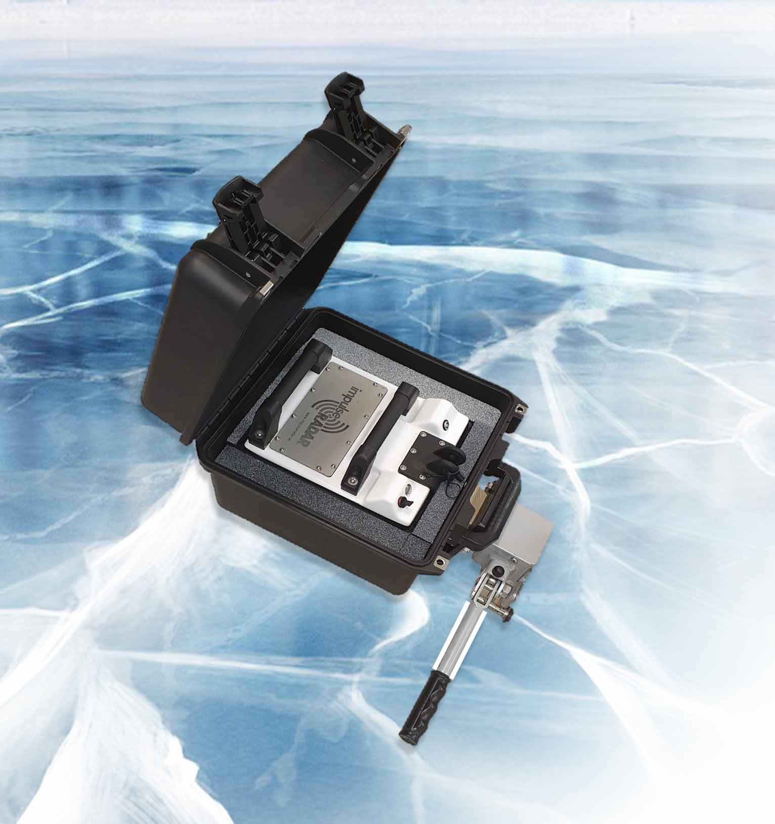
The ImpulseRadar PLT 600 is a compact, single-channel Ground Penetrating Radar (GPR) system designed for shallow subsurface investigations. Operating at a centre frequency of 600 MHz, it provides a practical balance between penetration depth and resolution, making it suitable for applications where detailed near-surface information is required.
Based on ImpulseRadar Real-Time Sampling (RTS) antenna technology, the PLT 600 delivers high-speed data acquisition and reliable GPR measurements. Its compact design, wireless data acquisition, and Android-based user interface make it convenient for field operations and a wide range of inspection tasks.
The system is designed for professionals working in archaeology, infrastructure assessment, road and bridge inspection, ice and snow investigations, and other shallow subsurface surveys.
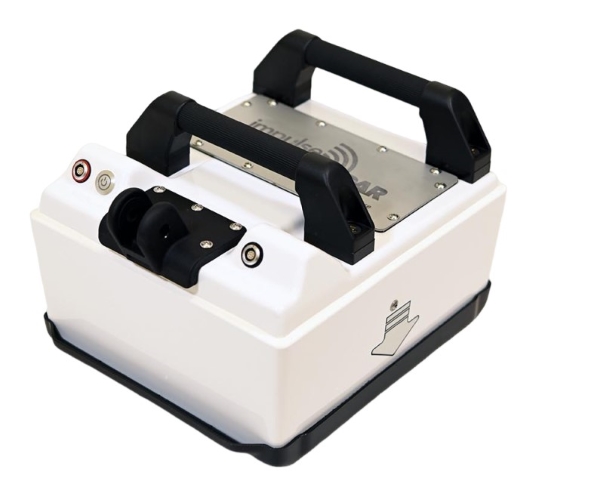
lmpulseRadar Real-Time Sampling (RTS) based antenna technology
Quick, clear and dependable locates to maximise in-field productivity and decision making
Single-channel operation 600 MHz
Optimised for shallow investigations and a good balance for depth penetration and resolution
Wireless data acquisition
No cables to be lost or broken which simplifies set-up and in-field productivity, and minimises operational servicing costs
Android-driven user interface
Flexibility in choice of the acquisition device
8-hour battery life
Low power consumption to extend working time with internal battery for more harsh working environments
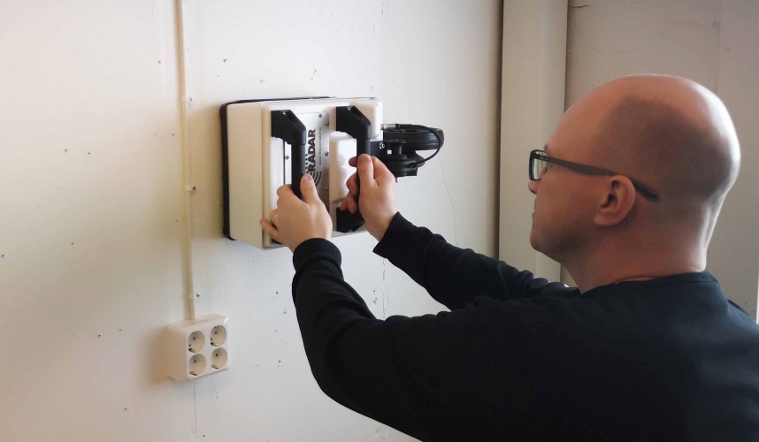
GPR Technology and Performance
The PLT 600 operates using ImpulseRadar's Real-Time Sampling (RTS) technology. Its 600 MHz antenna is designed to provide a useful balance between subsurface penetration and the ability to identify relatively small or closely spaced underground features.
With a specified acquisition rate exceeding 800 scans per second, the system supports efficient data collection. Its bandwidth exceeds 120% (fractional, -10 dB), while the recording time window exceeds 400 ns.
The PLT 600 supports wheel-based, time-based, and manual acquisition modes. Positioning options include a wheel encoder, while additional GPS and total station integration options are available for the Ice Edition.
Actual investigation depth and target visibility depend on soil conductivity, moisture, ground composition, target dimensions, antenna configuration, and survey conditions. The manufacturer does not specify a universal detection depth.
Applications
Archaeological Investigations
GPR surveys can help identify buried structures, foundations, walls, and other subsurface features without excavation.
Infrastructure Investigations
Suitable for examining shallow underground structures and supporting non-destructive subsurface assessments.
Road and Bridge Inspections
Can be used for near-surface investigations and inspection work involving road and bridge structures.
Ice and Snow Investigations
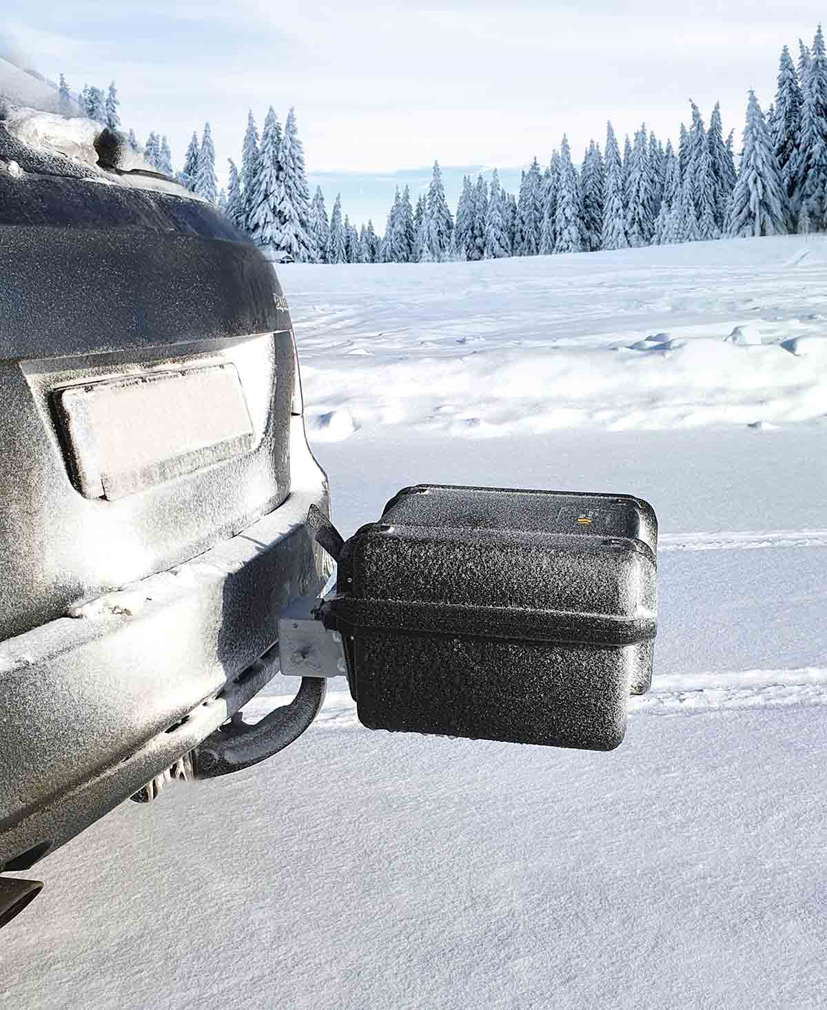
The PLT 600 Ice Edition is designed for specialized applications such as ice-road thickness measurements, snow thickness assessment, object detection, and ski resort management.
Law Enforcement and Military Applications
Can support subsurface inspection and search operations where shallow underground detection is required.
ViewPoint Data Acquisition Software
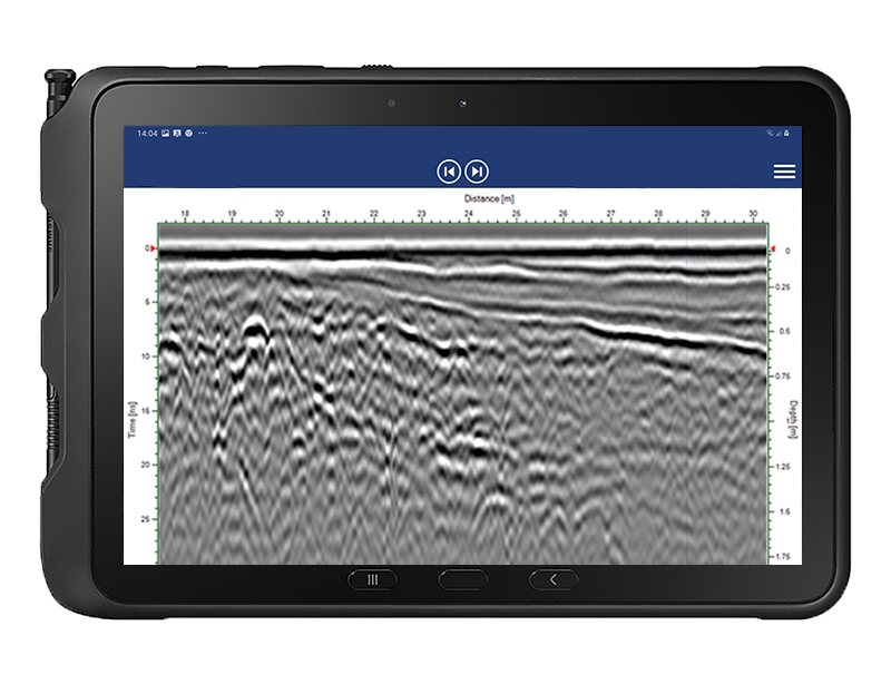
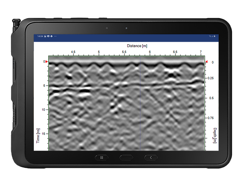
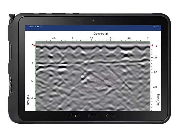
The PLT 600 uses the ImpulseRadar ViewPoint application for data acquisition. The Android-based interface provides field data collection and marker functionality, allowing operators to mark survey data and correlate recorded measurements with physical markings on the ground.
For ice and snow applications, third-party Geolitix software is recommended by ImpulseRadar for processing and integrating GPR data.
PLT 600 Ice Edition
The PLT 600 is also available in an Ice Edition configuration for specialized ice and snow surveys. This version supports applications such as ice-road thickness measurement, snow thickness assessment, object detection, ski resort management, and avalanche monitoring.
The Ice Edition includes internal DGPS positioning and supports additional positioning options. Its application requirements and software workflow may differ from the standard PLT 600 configuration.

Technical Specifications
| Specification | Details |
|---|---|
| Manufacturer | ImpulseRadar |
| Model | PLT 600 |
| GPR Technology | Real-Time Sampling (RTS) |
| Antenna Type | Single-channel |
| Centre Frequency | 600 MHz |
| Signal-to-Noise Ratio | Greater than 96 dB |
| Significant/Useful Bits | Greater than 16 bits |
| Scans per Second | Greater than 800 |
| Survey Speed | Greater than 130 km/h at 5 cm point interval |
| Time Window | Greater than 400 ns |
| Bandwidth | Greater than 120% (-10 dB fractional) |
| Acquisition Modes | Wheel, Time, Manual |
| Positioning | Wheel encoder |
| Additional Positioning | Internal DGPS and external GPS/total station support on Ice Edition |
| Data Time-Tagging | To 1 ms of GPS time |
| Power Supply | 12 V rechargeable Li-ion battery or external 12 V DC |
| Power Consumption | 1.0 A |
| Operating Time | More than 8 hours |
| Dimensions | 280 × 255 × 200 mm |
| Weight | 3.7 kg including internal battery (datasheet) |
| Operating Temperature | -20°C to +50°C |
| Environmental Protection | IP65 |
| User Interface | Android-based |
| Display Resolution | 720 × 1280 pixels or better |
| Regulatory Certification | CE, FCC, IC |