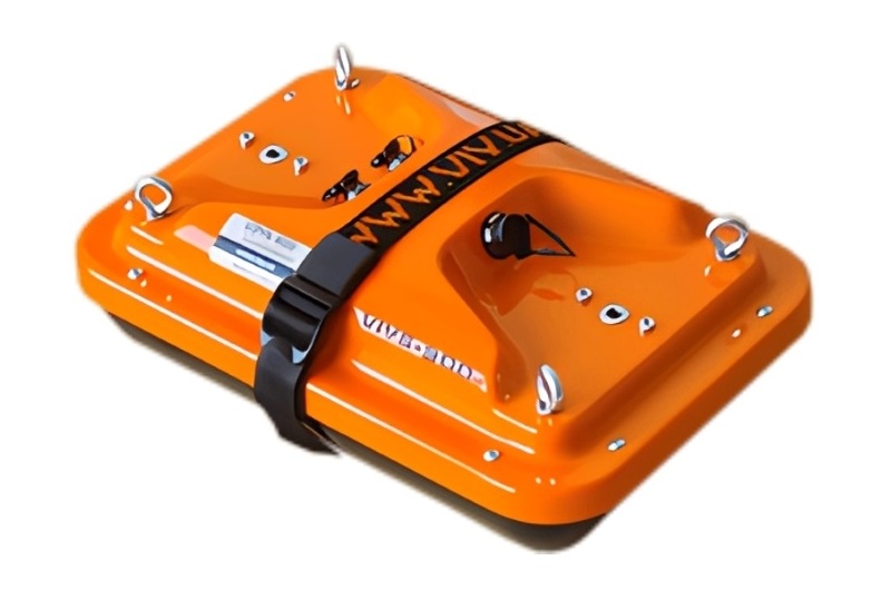
VIY5-300 Ground Penetrating Radar
The VIY5-300 Ground Penetrating Radar (GPR) is a professional subsurface imaging system designed for detecting and mapping underground objects, geological structures, and construction features using electromagnetic pulse technology. Equipped with a 300 MHz shielded antenna, the VIY5-300 provides an excellent combination of deep penetration and high-resolution imaging, making it one of the most versatile GPR systems for engineering, utility locating, archaeology, and geological investigations. Under favorable soil conditions, the system can achieve a maximum investigation depth of up to 8 meters while maintaining excellent target resolution.
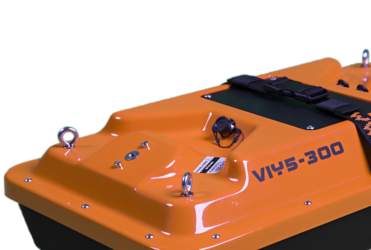
The VIY5-300 integrates the antenna, electronics, battery, and communication interfaces into a single rugged enclosure, eliminating the need for an external control unit. With advanced Telbin® signal processing, real-time filtering, USB and Wi-Fi connectivity, GPS compatibility, and more than eight hours of continuous operation, it provides reliable performance for demanding field surveys.

Basic applications:
- Search for pipes and communication objects;
- Examination of engineering construction (building basement, dams, etc.);
- Investigation of man-caused accident areas;
- Search for subsurface objects (voids, cracks, heterogeneous inclusions);
- Search for underground constructions (tunnels, sewers and etc.);
- Search for sources of leakage from pipelines by indirect signs (excessive moisture).

Features:
- Real time signal pre-processing (Online filtering)
- Automatic-Calibrated online filters
- Wide range of post processing filters
- Increased dynamic range due to digital traces-stacking
- High signal-to-noise ration due to innovative Telbin technology
- Automatic recognition of connected antenna
- Antenna to laptop connection through WiFi or USB
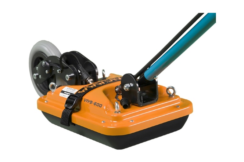
- All GPR components (antennas system, electronic modules, battery, etc.) are assembled in a single case
- No additional Control Unit. Any Windows-based computer (laptop) can be used for working
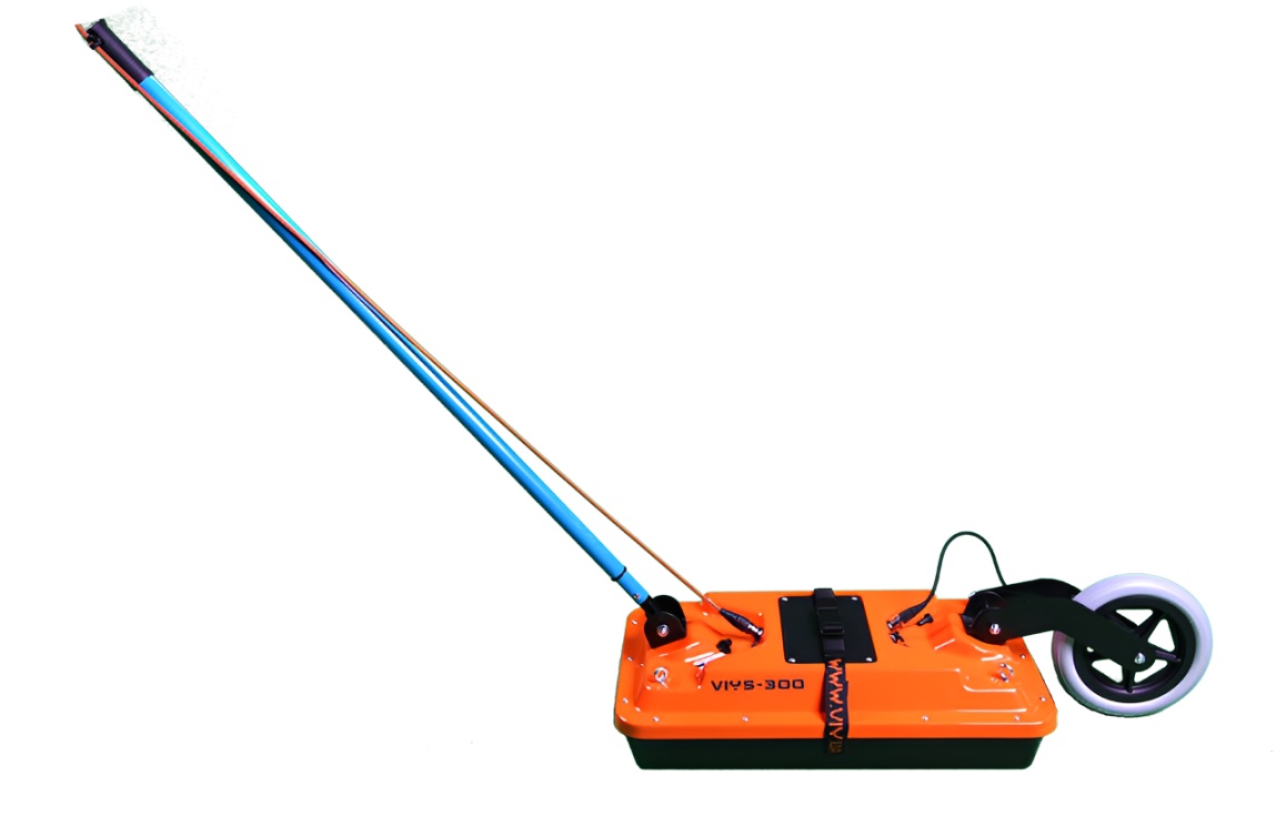
- Direct connecting of Measuring wheel and GPS to antenna unit
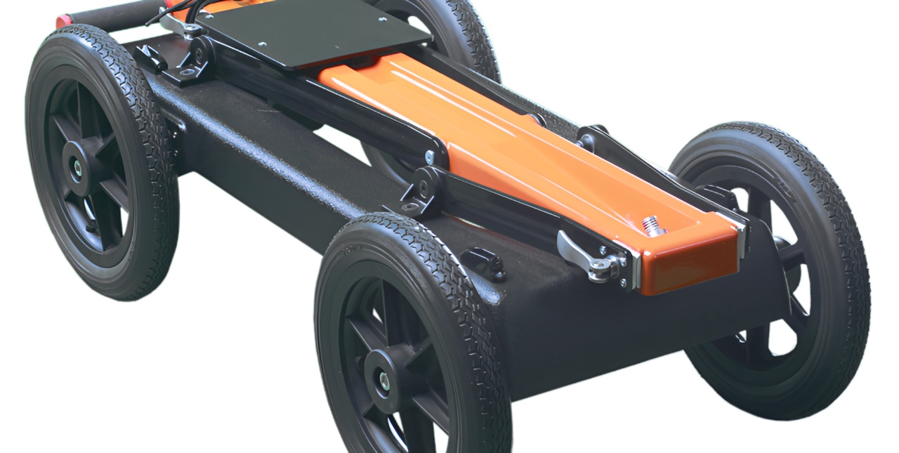
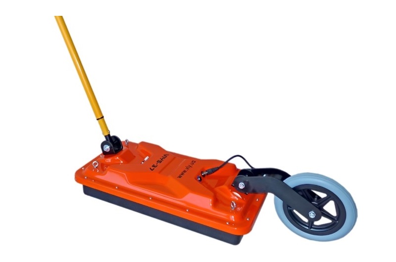
- Antenna unit can be either mounted on the Handcart Cart-46 or towed along the ground by transport belt
- Bidirectional odometer. User can perform sounding in both directions: back and forth
- Low power consumption: not less than 8 hours of working session before next charging
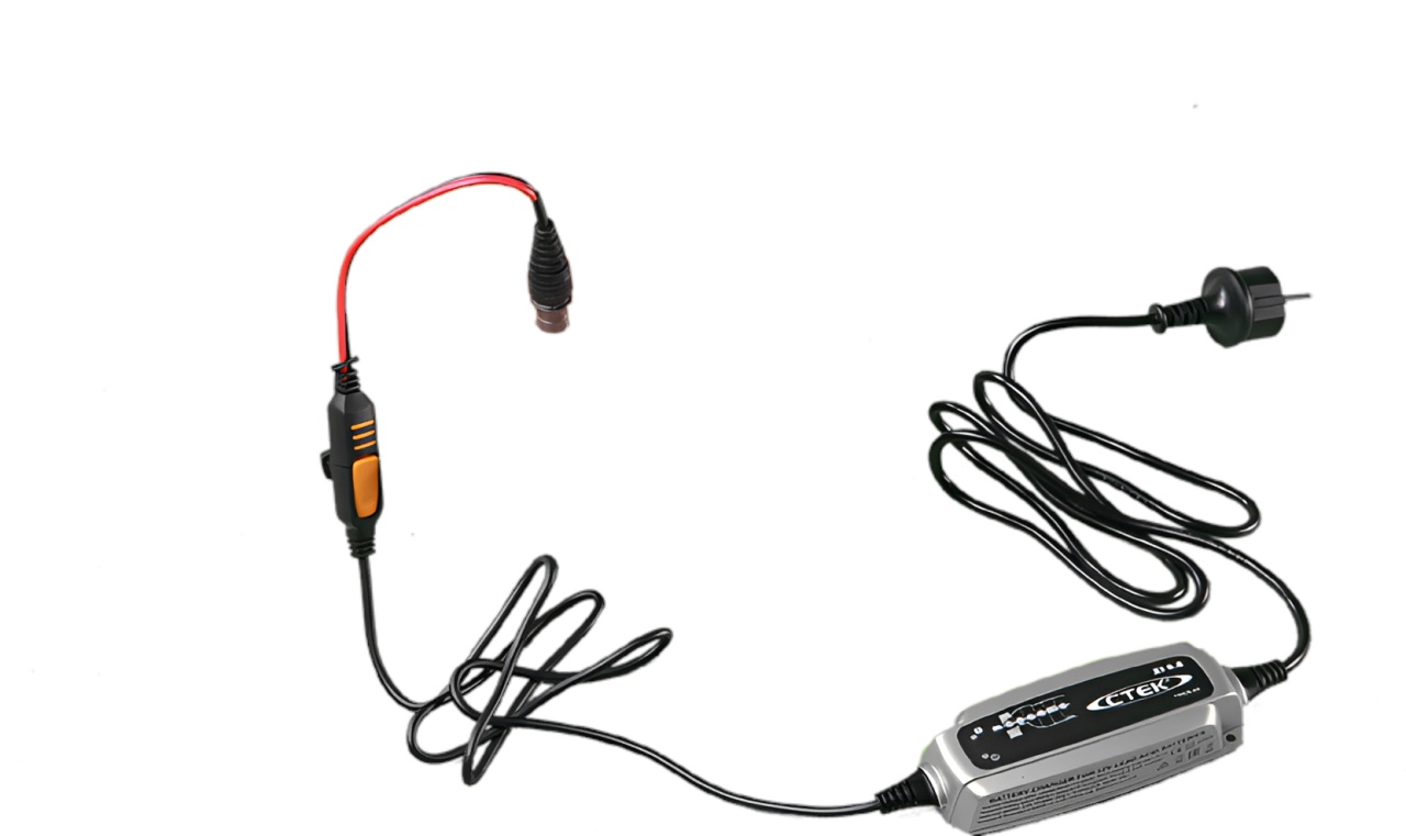
- Sealed lead acid batteries permitted for air-carrying
- Non- inflatable solid wheels of the Handcart
- Durable antenna body made of fiberglass plastic
- Replaceable bottom protector to use antenna without the Handcart
- Each antenna set is ready to use without purchasing any additional accessories

Specifications:
- Antenna frequency: 300 MHz
- Analogue-to-Digital Converter range: 18 bit
- Dynamic range: not less than 135 dB
- Data acquisition rate: up to 150 traces per second
- Survey window: 66, 100, 133, 166 ns
- Maximum number of samples per trace: 1 000
- Trace stacking number: up to 300
- Depth of sounding: up to 8 m (determined by soil properties)
- Spatial resolution: better than 0.3 m
- Trigger mode: single, internal, external
- File size of a single profile: up to 1 000 000 traces
- Interface: USB2 or WiFi
- Dimensions (L x W x H): 550x310x170 mm
- Weight of antenna: 8.0 kg
- Weight antenna with cart: 20.5 kg
- Operating temperature range: -20°C to 40°C
- Continuous operation time: not less than 8 hours