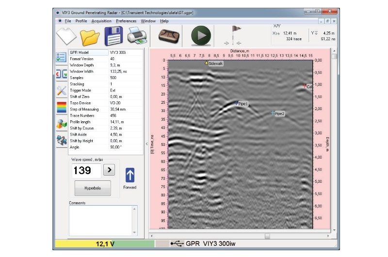
Planner Program for VIY® Ground Penetrating Radar Systems
Planner is a professional mapping, visualization, and project management software developed by Transient Technologies LLC for VIY® Ground Penetrating Radar (GPR) systems. Working seamlessly with Synchro, Planner enables users to organize GPR survey data, display radar profiles on site plans, manage object markers, generate 3D visualizations, and create professional survey reports.
Designed for geophysicists, engineers, utility surveyors, archaeologists, and researchers, Planner transforms raw GPR data into clear, well-organized project information that simplifies interpretation and documentation.
Planner program is designed to display all measured GPR data and all found items on the location plan and to manage the sounding process.
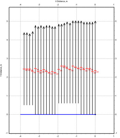
Example of GPR profiles displayed in Planner.
Working with GPS
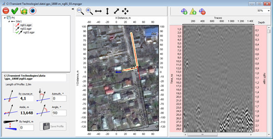
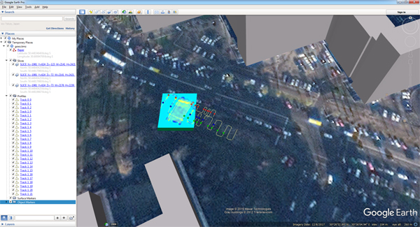
Export a project data to .kmz file and therefore it can be opened with Google Earth program.
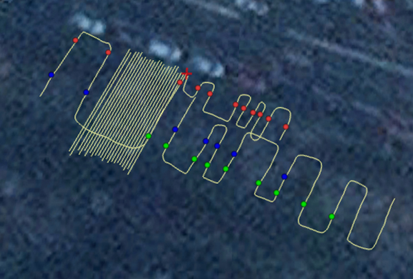
Convenient view and identification of GPR profiles. Marking on the GPR profile and on the view area.
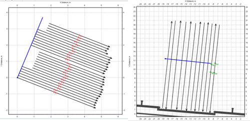
Arbitrary orientation and position of the base line.
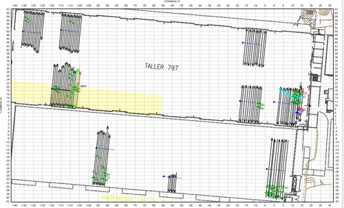
Unlimited number of GPR profiles in the site. Unlimited number of sites in the project.
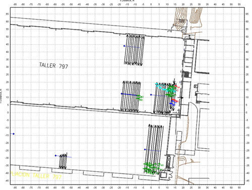
Area plan. Using an image as a background layer in the project.
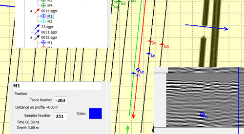
Convenient editing of object's markers.
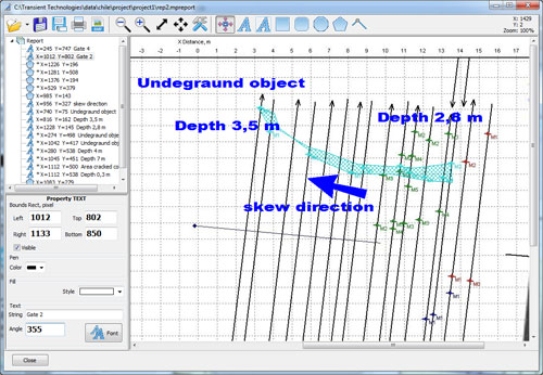
Report preparation.
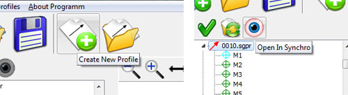
Easy integration with Synchro3 program during sounding and data processing.
Data export to AutoCad.
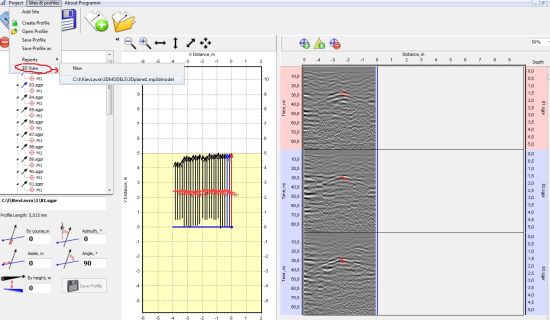
3D representation can be made directly from Planner.
3D interpolation can be built by any profile section in any project plane (Z,Y,Z).
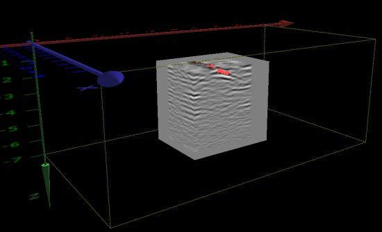
3D interpolation using GPS

Reports can be created based on project's plan or 3D view.
Features
- Display GPR profiles directly on site plans and maps
- Edit and reposition GPR survey profiles
- Manage and organize object markers
- Create interactive 3D visualizations of survey data
- Perform 3D interpolation in any project plane (X, Y, or Z)
- Import background maps and site images
- GPS integration for accurate profile positioning
- Export projects to Google Earth (.KMZ)
- Export GPR profiles and markers to AutoCAD
- Generate professional graphical reports
- Seamless integration with Synchro software
- Support for multiple survey sites within a single project
- Unlimited number of GPR profiles per project