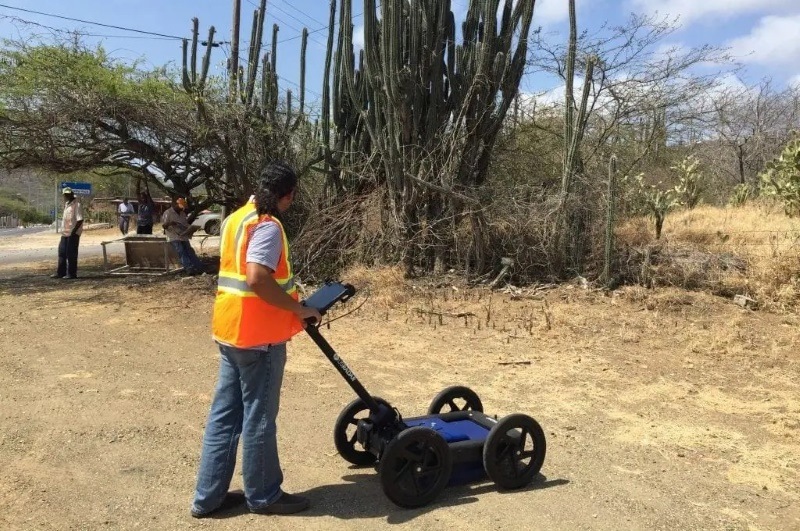
Q5 GPR system
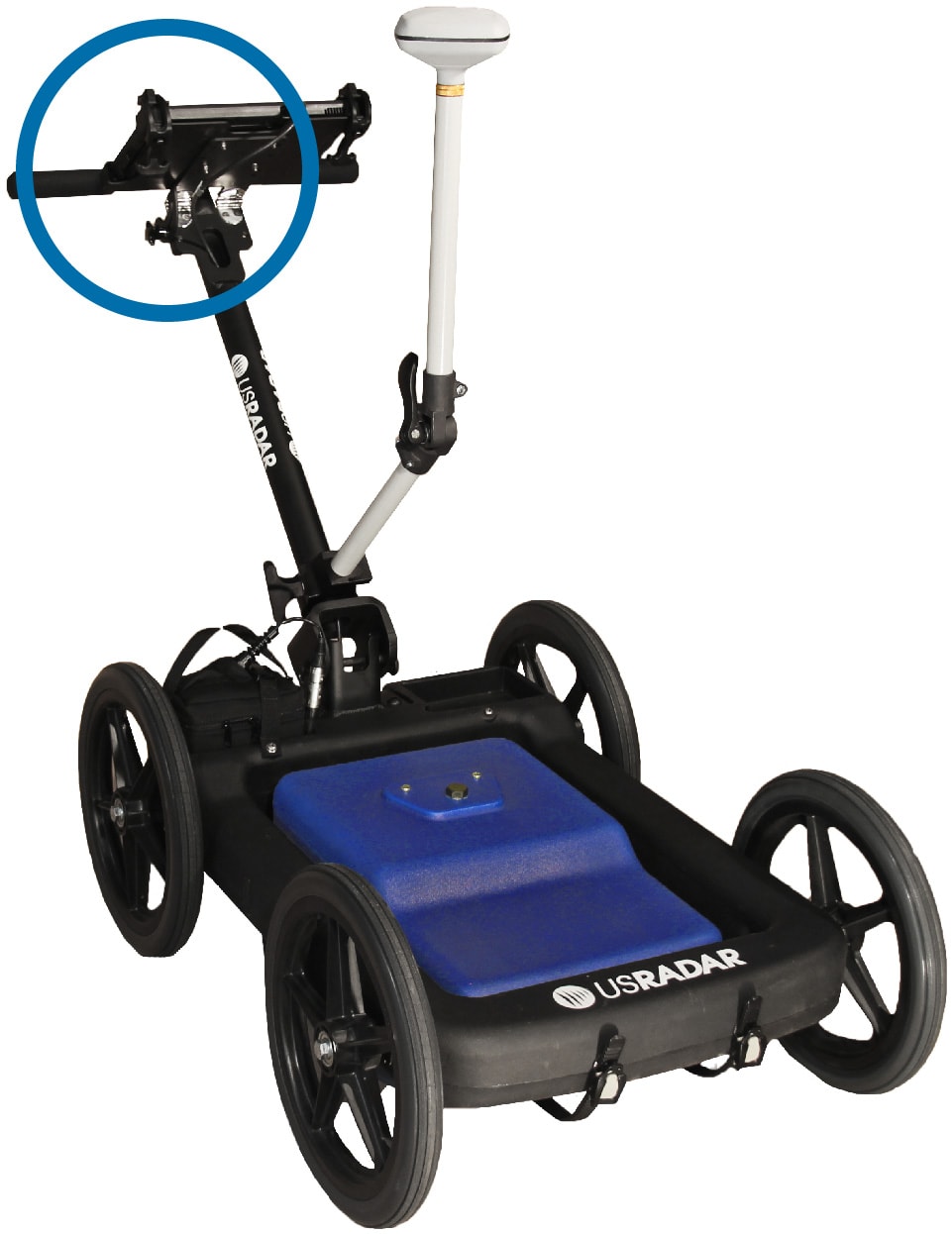
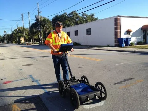
Simply put, the Q5 GPR system is a workhorse when it comes to locating buried utilities. Its easy-to-use interface can also be expanded and configured for other applications as needed. Not only is this system incredibly versatile, but it is the most powerful ground penetrating radar for locating underground utilities up to 15′ (5m) deep at high resolution.
The Quantum Imager is the first true triple-frequency range ground-penetrating radar system ever produced. The antenna emits three separate signals simultaneously, allowing you to survey greater depths with higher resolution in a single scan. Stepped ultra-wideband pulses combine the advantages of pulse radar and stepped frequency radar for unsurpassed resolution and depth. Direct RF sampling technology creates clearer, easier-to-understand images than previously possible with older radar technologies, making GPR underground mapping faster and more accurate across every application.
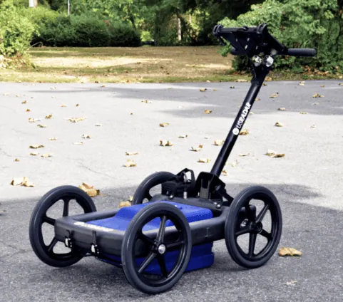
The Q5 is more than just a utility locator, it has a wide range of applications. It is also a data collection platform that allows you to visually document your findings to share with others on your utility installation and maintenance teams. You can use the easy-to-learn interface to create a deliverable dataset that ensures all workers are on the same page when completing the job. This results in a safer, more efficient work environment where everyone is working with more confidence.
With the ability to detect targets from fiber optic lines to utility lines up to 30+ feet (9 m) deep, this GPR unit delivers real-time imaging for confident decision-making in the field. Whether you’re mapping buried objects before construction, locating subsurface infrastructure before excavation, or conducting environmental surveys, the Quantum Imager is the system professionals rely on when accurate data matters most.
Three Signals, Three Independent Datasets
The triple-frequency antenna generates three independent datasets across the low, mid, and high frequency ranges, which can be viewed and cross-compared for superior accuracy. Low frequencies achieve deep penetration for detecting subsurface features well below the surface. Mid-range frequencies precisely locate utility lines, conduits, and other subsurface infrastructure at typical burial depths. High frequencies deliver the resolution required for detailed imaging of shallow targets. All three work simultaneously in a single scan, so you collect comprehensive GPR data without multiple passes.
Dual-frequency systems miss the middle frequencies ideal for locating targets like buried utilities, leaving gaps in your data. The Quantum Imager eliminates those gaps entirely.
Direct RF Sampling for Clearer Images
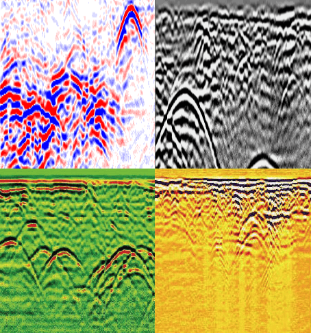
Direct RF sampling creates clearer images that reduce the time spent on data interpretation. Subsurface features appear with greater definition, making it simpler to distinguish between buried objects, utility lines, and natural ground conditions. The result is GPR scans you can interpret quickly and confidently, translating directly into faster, more accurate decisions on construction projects and sites with dense subsurface infrastructure.
Power On, Auto-Calibrate, Start Scanning
Connect the battery, power on the system, and the Radar Acquisition Software auto-calibrates the antenna to the surrounding soil conditions. Setup is straightforward, with no manual configuration required. The system adapts to the materials present at your location and begins displaying real-time subsurface imaging as you collect data. As you move between different ground conditions on the same site, the Quantum Imager adjusts automatically while recording your findings for future analysis.
Durable, Weather-Resistant Hardware
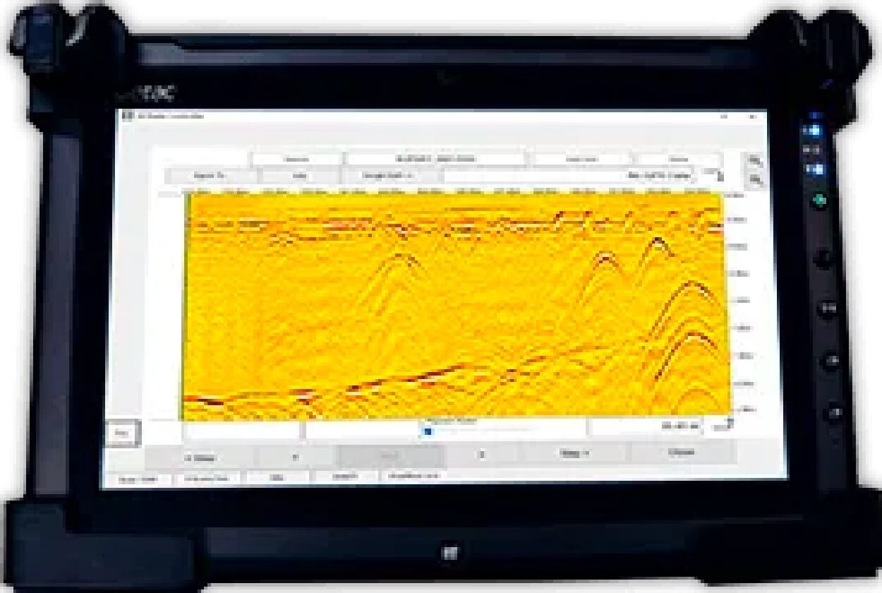
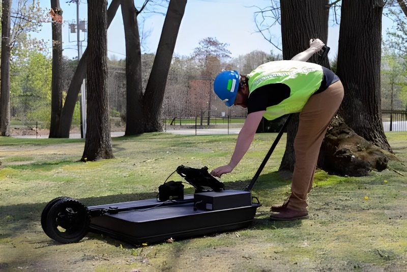
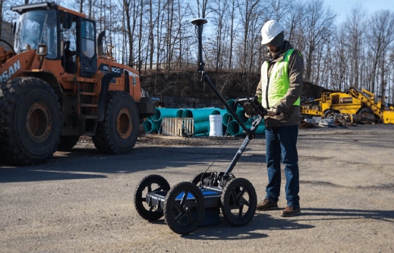
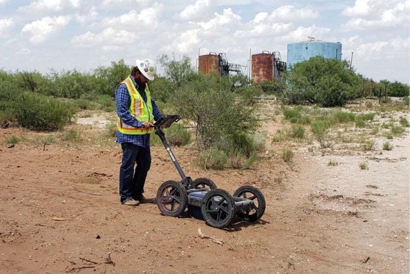
The daylight-readable Getac tablet interface features a high-performance CPU for real-time data processing in any conditions. Each battery pack delivers up to 8 hours of continuous operation. Airless, solid tires require no maintenance and cannot go flat. The foldable cart handle provides practical storage and easy transport between job sites. Every hardware detail is informed by the real-world experience of professionals in the field.
Utility Locating and Construction Support
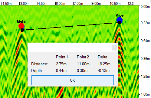
The Quantum Imager excels at utility locating where accurate detection of buried infrastructure is critical for safety and project efficiency. The triple-frequency system detects gas lines, water mains, electrical conduits, fiber optics, and other utility lines that lie beneath the surface. With precise depth and location data, you can plan excavation with confidence and protect buried infrastructure throughout every phase of your project.
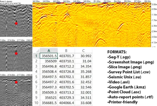
For construction and engineering teams, the system helps determine what lies beneath before breaking ground, identifying buried objects, voids, and subsurface materials that could affect project timelines. Real-time GPR data enables informed decisions on-site, and permanent digital records can be stored, exported, and shared by all project stakeholders for quality engineering analysis.
Featured Q5 Hardware Technologies
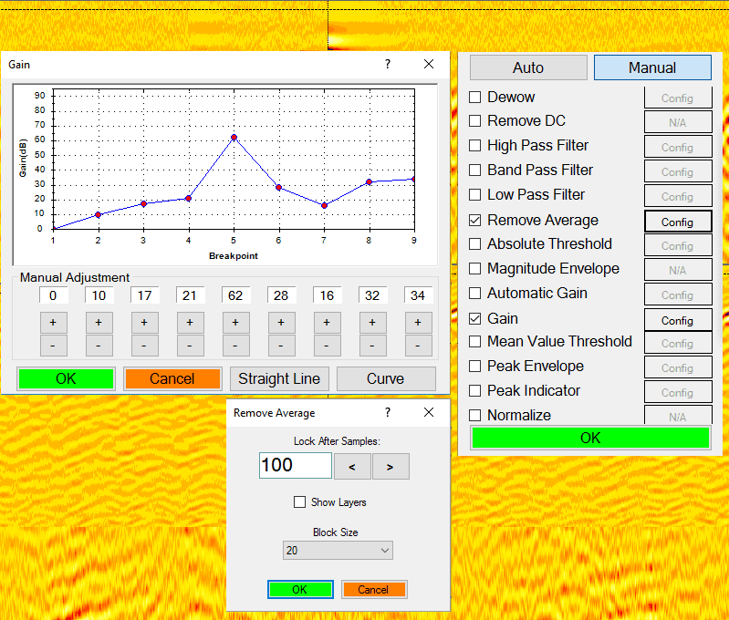
- SmartGain2
- Folding Rough Terrain Cart
- Self-Calibrating
Featured Q5 Software Technologies
- SmartStack
- StreetSmart Real-Time Processing
- Auto Config
- Depth Calibration
The Q5’s versatility and penetration depth allows it to be put to use across a wide variety of applications. Some of these include, but are not limited to:
Utility Locating
- Non-metallic pipes
- Metallic pipes
- Fiber optics
- Water boxes
- Missing valves
- Conduit
Law Enforcement:
- Forensic investigation
- Illegal connections
Environmental:
- Buried drums
- Tanks
- Voids
- Landfill limits
Archaeological:
- Artifacts
- Graves
Durable, Glare-Resistant Tablet Interface
- Daylight readable, weatherproof Getac tablet interface
- High performance CPU enables real-time data processing
- Built-in 3D view capability
- WiFi supported
- USB, Ethernet, HDMI and Audio ports
Software:
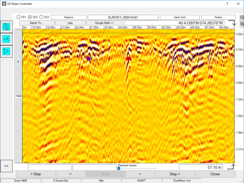
Acquisition Software
- Easy to use out of the box
- Perfect for on-the-go locating
- Auto-Calibrates Antenna
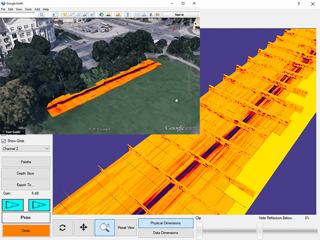
Optional Google Earth/SatelliteImaging Software Integration
- Overlay radar data on satellite imaging
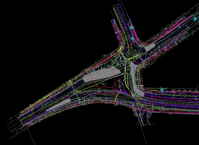
- Create reliable utility maps
- See data in relevant environmental context
- Annotate & map data
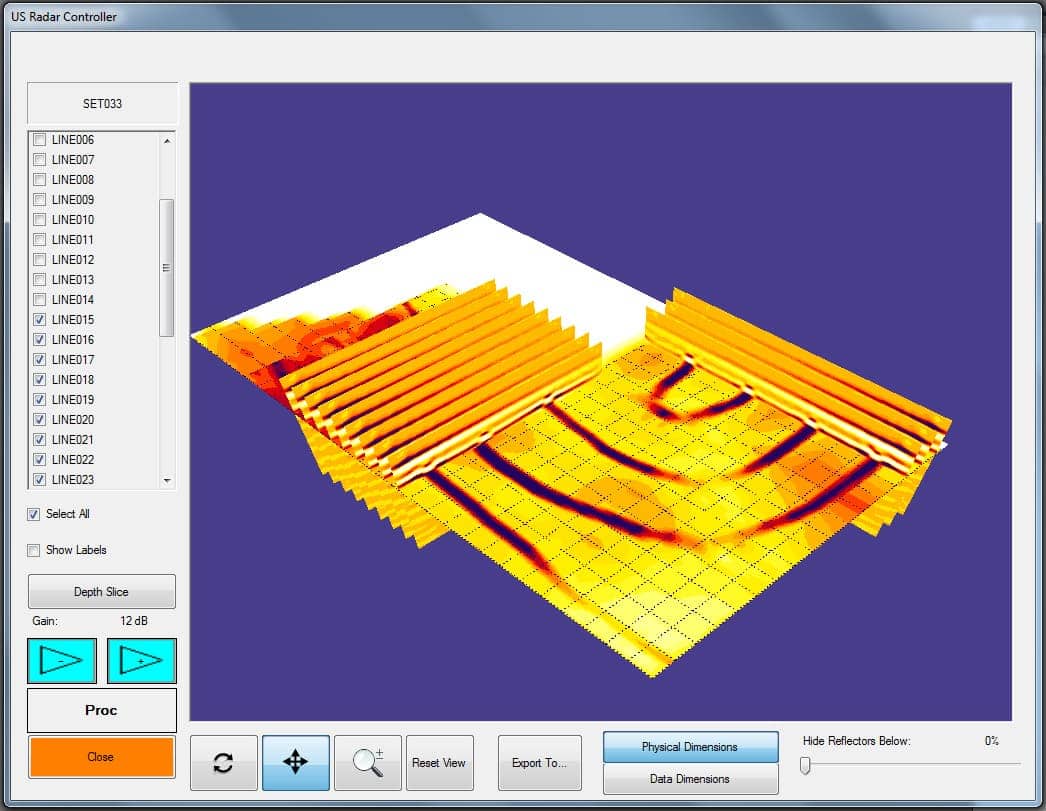
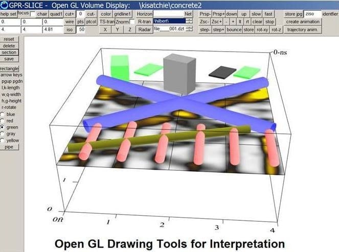
Optional 3D Imaging & Modeling
- Generate depth slices overlays
- Generate point clouds
- Create isosurface models
Specifications:
Radar Controller Computer
Getac F110
- Operating System: Windows 7 or 10 64-bit
- Third-generation Intel® Core™ i5vPro™ Processor
- Durability: MIL-STD-810G, 4-foot drop and all-weather IP65 dust and water resistant design
- Display: 11.6 inch, HD daylight-readable, ten-point multi touch + digitizer
- I/O Interface: Ethernet Port, DC Power Port, 1 USB 3.0 Port, HDMI Port, WiFi and Bluetooth
- Expansion Options: MicroSD or second USB 2.0 port, RJ45 Ethernet, Dedicated GPS
- Communications: Wi-Fi, Bluetooth® and optional 4G LTE or 3G Gobi™
Software
- Microsoft Windows
- US Radar Control Software Including:
- System Configuration
- A Scan Display (Oscilloscope Mode)
- B Scan Display (Cross Sectional View)
- C Scan Display (3D) (Optional)
- Real Time Signal Processing
- Data Storage and Playback
System Scan Modes
- Maximum typical logging scan rate of 390 traces per second
- Trigger Modes: Free run, timed interval, shaft encoder, GPS, manual
- Nominal Sampling Rate: 650,000,000 samples per second
- Maximum Resolution: 100 Gigasamples per second
- Hardware Time Varying Gain: 45dB
- Software Time Varying Gain: 60dB
- Software Flat Gain: 60dB
System Environmental Specifications
- Temperature: -11 deg. To 50 deg. C
- Moisture and dust resistance: IP 65
Radar Hardware Specifications
- Total System Dynamic Range: >130 dB
- Receiver Dynamic Range: >90 dB
- Sampling Interval: 10 ps-6.4 ns
- Time Range Adjustment Interval: 10 ps
- Pulse Repetition Frequency: 0.1-4 MHz-adjustable
- Samples per Trace: 2-8192, Adjustable
- Effective Bandwidth (typ.): >4 GHz
- Stacking: Automatic
- Transmitter: Stepped Ultra Wideband Single Frequency
Support
- Warranty: 2 Years Parts and Labor
- Complimentary telephone and email technical support