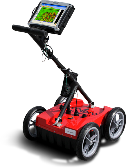
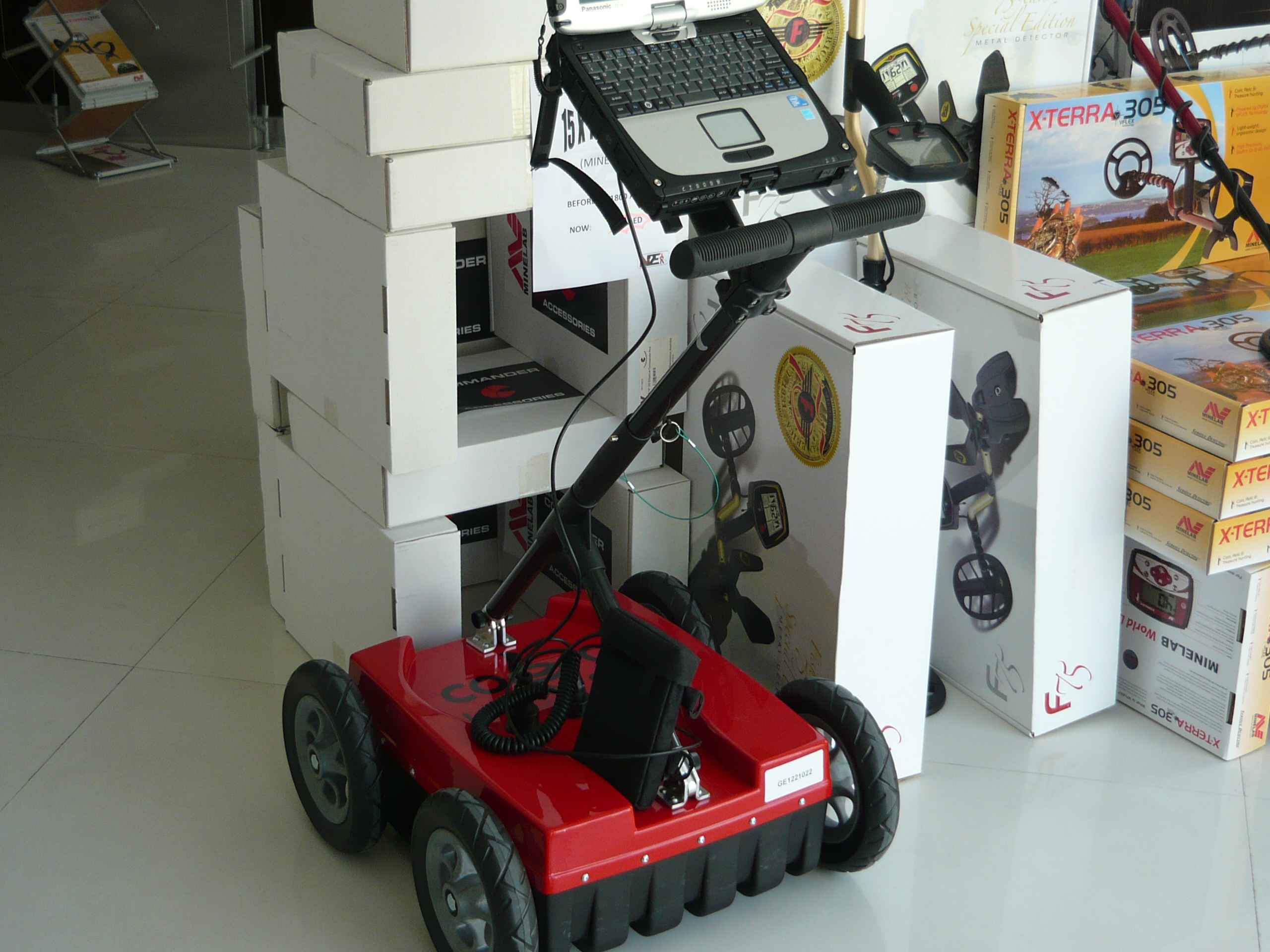
Cobra Locator GPR
- Ground Probing Radar/Antenna system with Rugged PC and Cart
- Fully integrated system. Multi Frequency operation: 100-900 MHz
- Air/Ground Coupled operation. Multiple Applications. 0-10 m depth range
- Real time 2 Depth Range & Channel option. No additional survey needed
- Best penetration and data quality in compared head-to-head tests

APPLICATIONS
Infrastructure & utility mapping
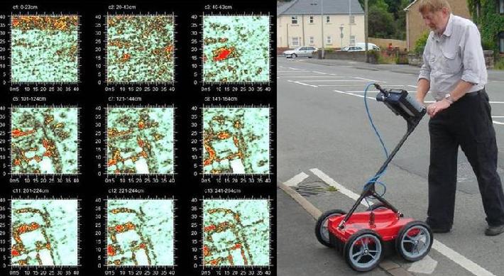
One of the most used applications of GPR is utility detection and mapping. It has become a regular tool in the arsenal of buried pipe and cable detectors. The GPR-method has an advantage over traditional locating devices, it can also detect non-metallic targets like plastic, concrete, terracotta composite pipes or just about any other material.
Our products can also be used to detect obstacles, shallow bedrock, other pipes, old foundations and debris in front of "Trenchless Technology Piping" and directional drilling operations. We provide complete systems perfect for rapid surveying without the need for ground coupling the antenna.
- Inspect internal structures
- Identify voids under; roads, airports, bridges, tunnels, railways, dams and buildings.
- Locate plastic, concrete, clay- or metal pipes.
- Map concrete before drilling, cutting or coring.
- Detect obstacles in front of directional drilling operations.
Rescue Operations
Locate trapped victims under collapsed buildings and landslides.
Environmental
- Locate hazardous waste
- UST-location
- Delineation of contaminant plumes and product spills
Military and Security
Our products are perfectly suited for rugged military applications through the use of military grade connectors and a rugged and sealed design.
Our systems are used to locate buried or hidden objects such as landmines, AT-mines and unexploded ordnance. Other applications for the Other applications for our systems include the detection of subterranean tunnels and bunkers used for human infiltration or smuggling, through-wall imaging and related security needs.
Our products are ideally suited for military applications with features such as aircoupled high penetration and high resolution antennas.
- Locate tunnels, bunkers, hidden weapons and drugs
- Landmine and unexploded ordnance (UXO) location
Agricultural & Forestry
- Locate agricultural and golf-green drainage tiles
- Determine soil water content and conductivity
- Map tree roots and rot in wood
Geology and mining
- Locate gemstone pockets in pegmatite
- Find kimberlite and lateric nickel
- Map internal structures and voids in soil
- Locate cracks in bedrock and building stones
Forensic and Archeological Operations
Our systems are used for pre-excavation mapping of buried structures, foundations, burial sites and chambers. Forensic teams and law enforcement use the antennas to locate buried bodies, drugs and weapons.
- Mapping of buried structures, foundations, burials and chambers
Technical Specifications
- ANTENNA/GPR Dual shielded antennas with integrated 2 channel Ground Penetrating Radar system
- Antenna type Cylindrical Butterfly Dipole (CBD-antenna), resistively loaded. Both air/ground-coupled operation.
- Peak frequency 250 MHz
- Operating bandwith 100 - 900 MHz
- System performance 174 dB
- Applied voltage 100 V
- Sample rate 100,000 samples/s
- Scan rate 1-100 scans/s @ 512 samples/scan
- Sample output 16 bit digital raw data
Downloads: