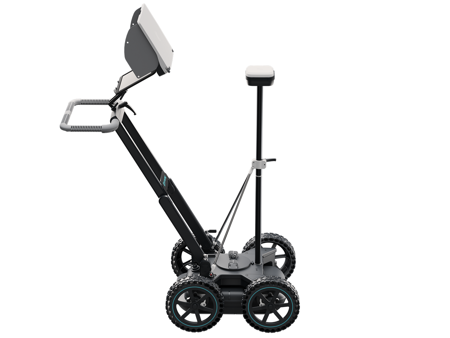
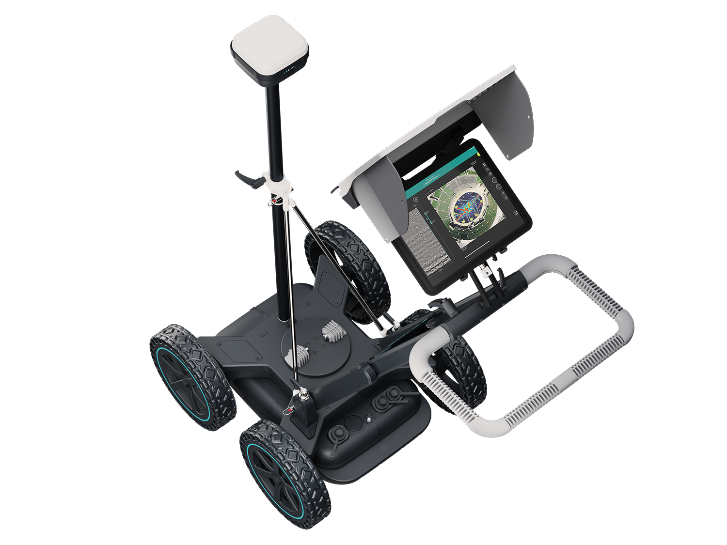
Screening Eagle Technologies Proceq GS8000
Subsurface Mapping GPR
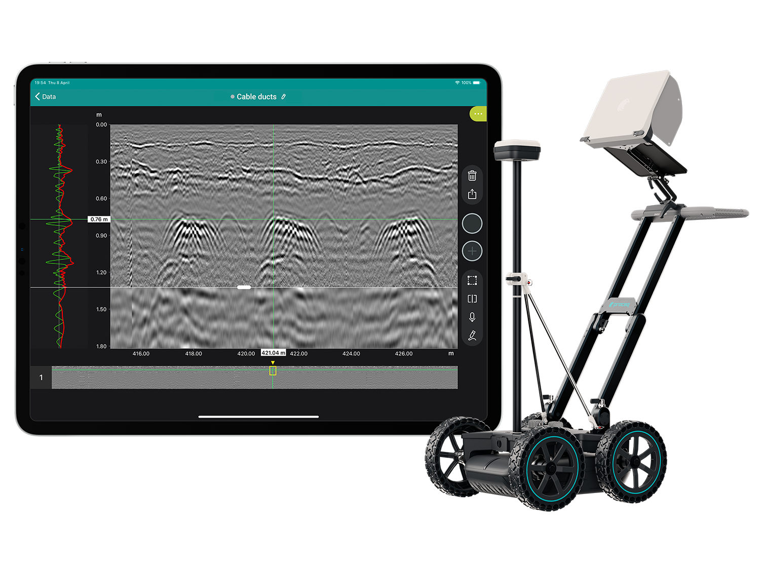
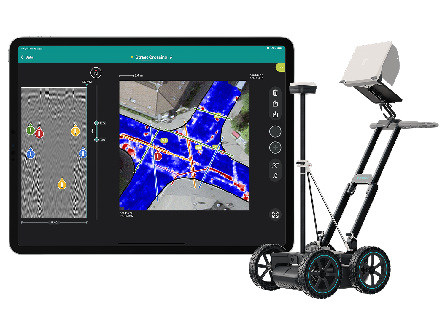
The most efficient real-time workflow and technology to scan and digitize the subsurface
- Get a clear image of the underground in 2D and 3D as you walk
- Digitize on-site findings on the map and send to CAD/GIS
- Access to your data from anywhere, anytime
Applications:
Damage prevention / Excavation safety / Utility locating & mapping / Subsurface utility engineering (SUE) / Surveying & Reality Capture / Road inspection / Bridge inspection / Geophysical investigations / Archaeology / Forensics & UXO / Precision Agriculture
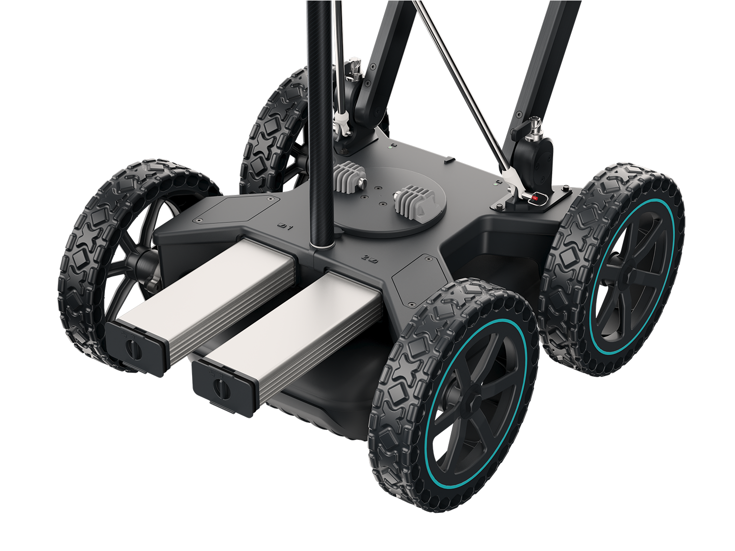
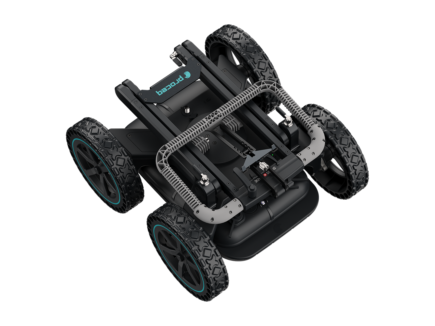
Professional configuration for all-terrain use.
Includes hard transportation case
Standard configuration for urban settings
Proceq GPR Subsurface App
- Free updates & releases
- Customer-centric development
- Ahead of any other solution
Scan the underground with total flexibility to obtain ultra-clear 3D visualizations of what lies beneath, in real-time. Effortless and reliable subsurface detection of objects and underground utility mapping with the ability to collaborate anywhere, anytime.
Designed for professionals including subsurface engineering companies, utility locators and surveyors, geophysicists, archaeologists and civil engineers, this intelligent and feature-rich app gets better and better over time. And as it is available with a subscription, you also have access to continuous innovation and over-the-air updates. 4000+ users have trusted us. Join the community.
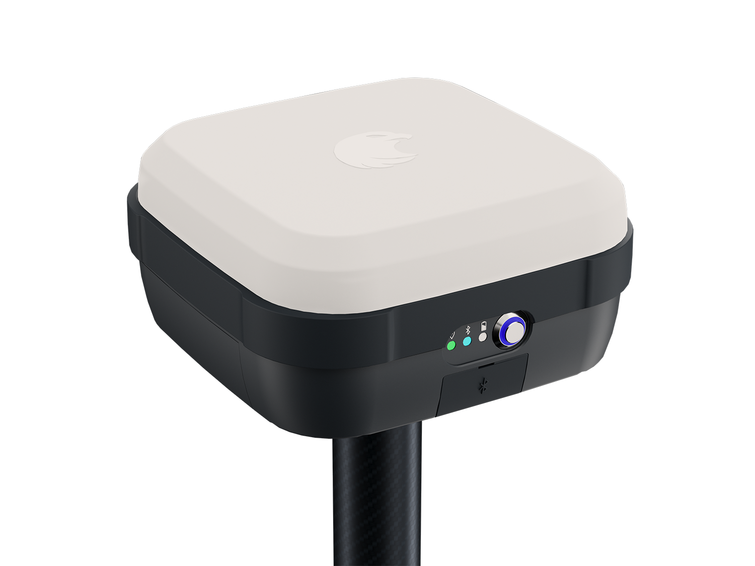
Instrument